Explore Your World from a New Perspective!
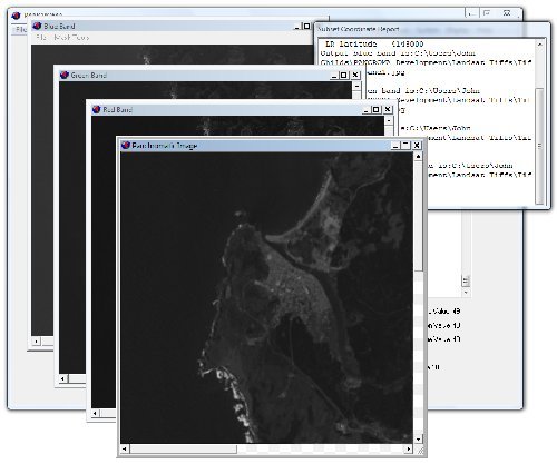
Professional Satellite Image Processing Software ![[PANCROMA pan sharpening]](img/windows.png) Windows® 10,8, 7, Vista, XP
Windows® 10,8, 7, Vista, XP
Use PANCROMA™ technology and free satellite imagery to increase billings, win grants and impress your committee. Order PANCROMA™ satellite image processing software and explore your world from a new perspective!
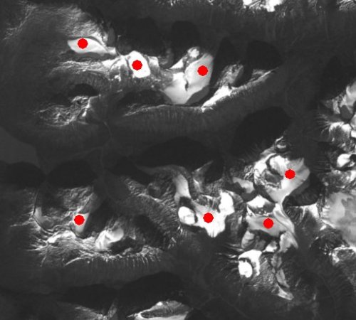
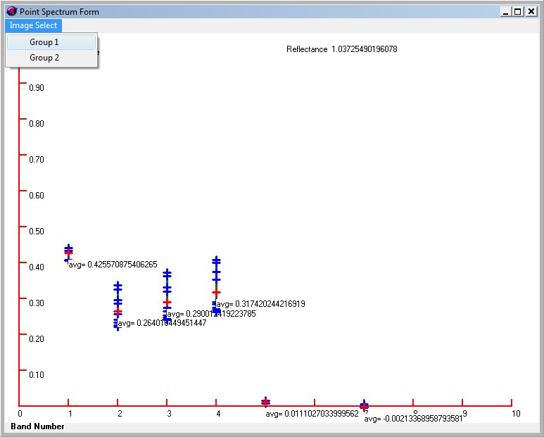
• UAV Operators - Analyze Parrot Sequoia® multispectral sensor image data using PANCROMA™ Point Spectrum Generator™ and Spectral Analyzer™ utilities.
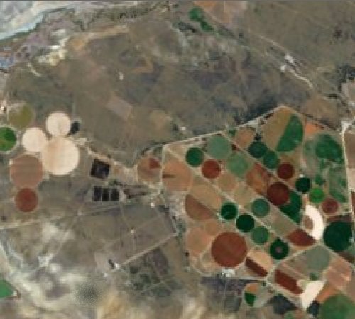
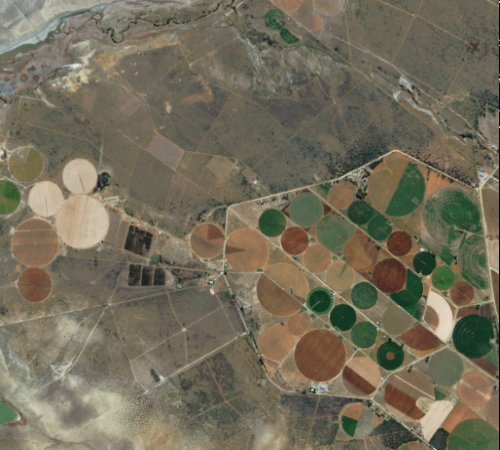
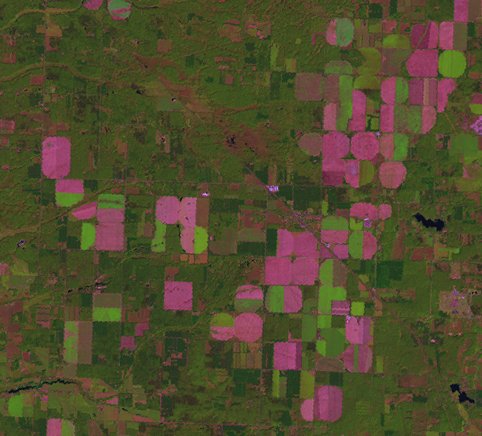
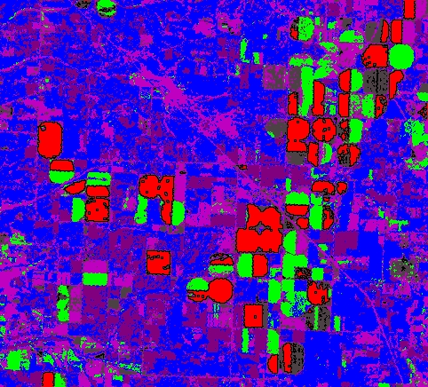
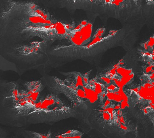
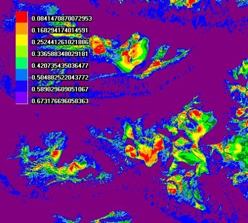
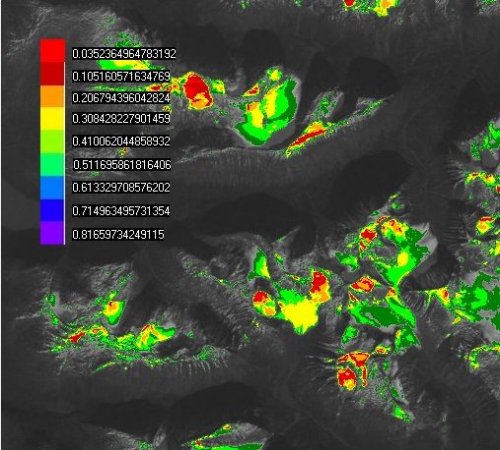
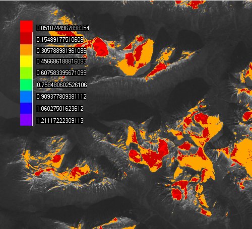
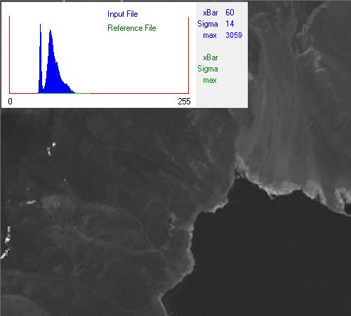
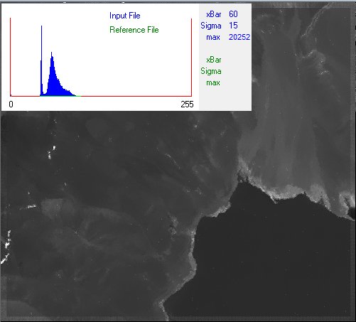
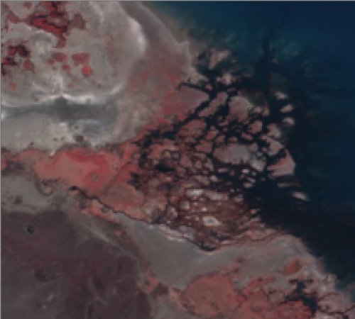
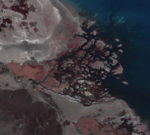
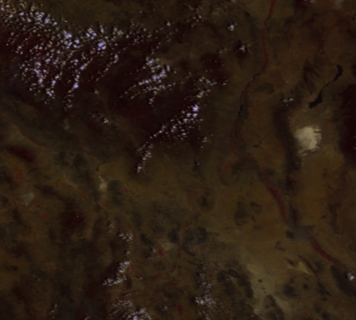
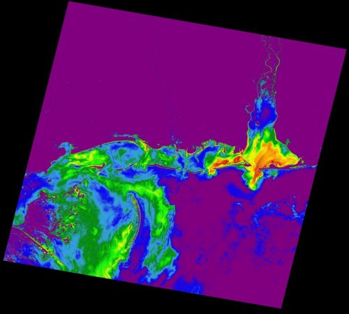
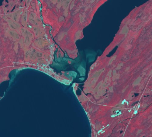
• Geologists - PANCROMA™ multispectral target analysis turns free satellite data into billable reports. Add multispectral image prospecting for hydrocarbon, precious metal and mineral resources to your portfolio.
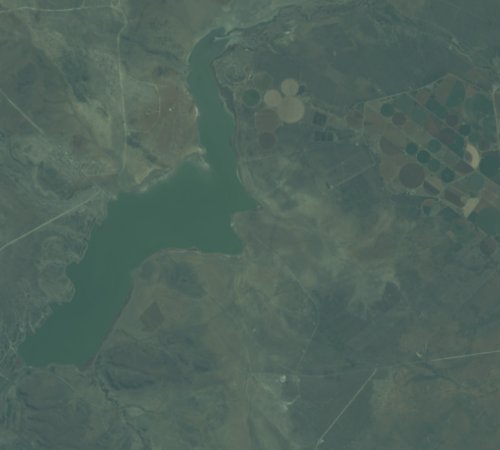
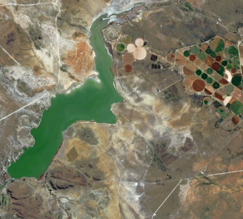
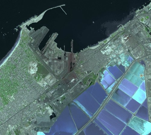
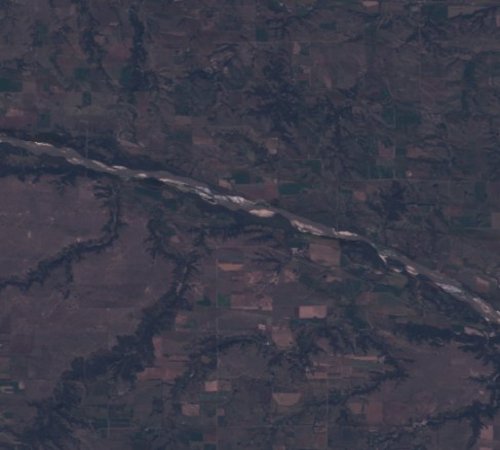
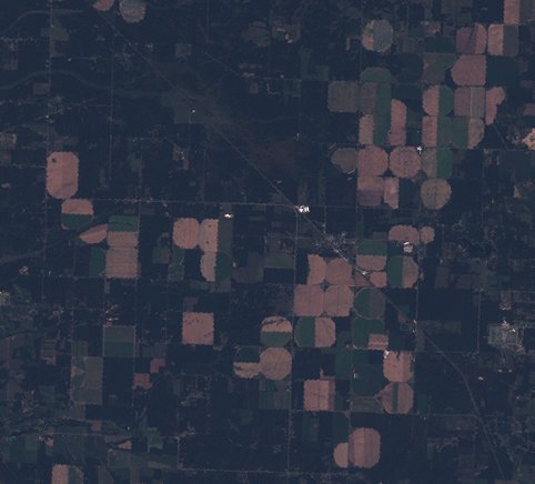
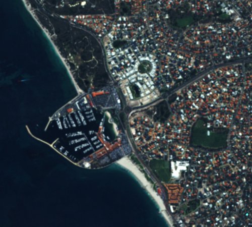
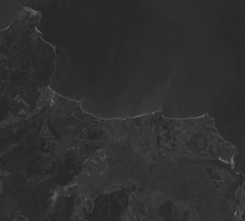
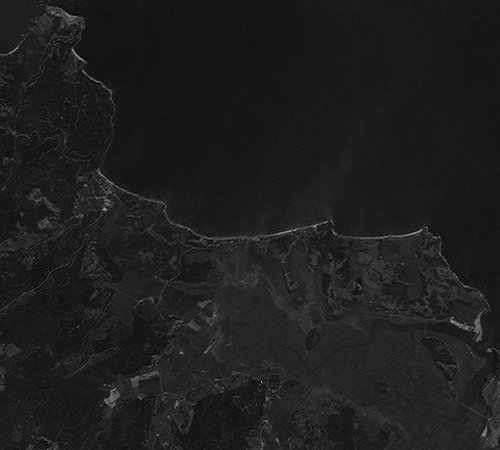
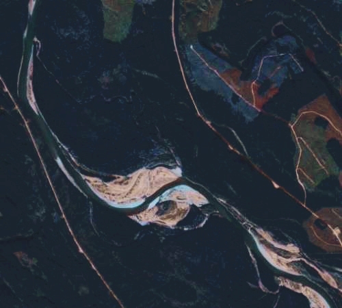
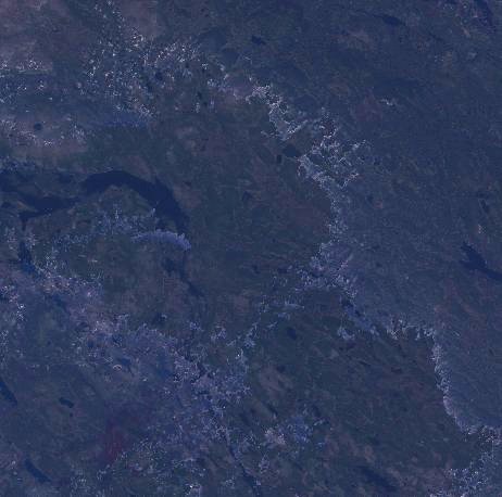
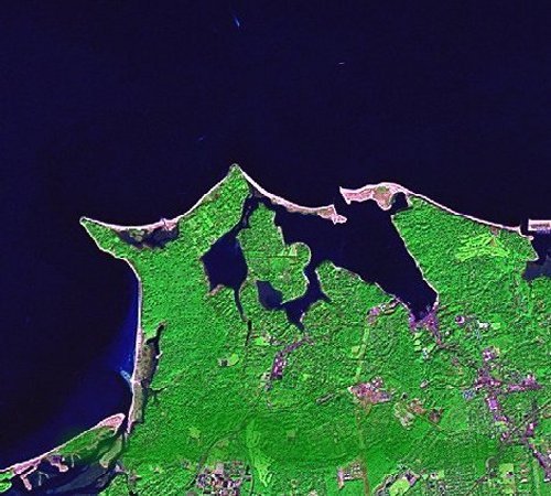
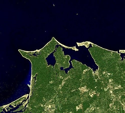
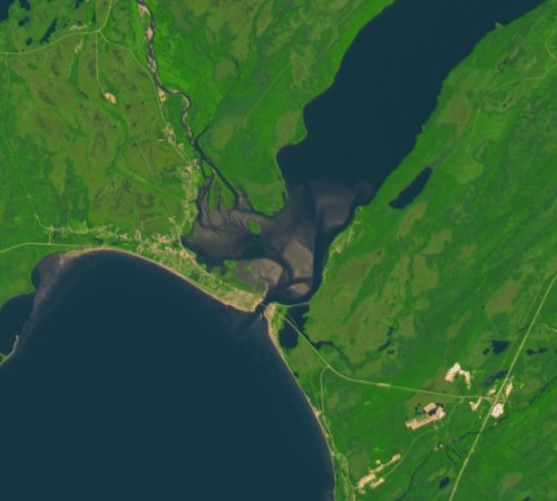
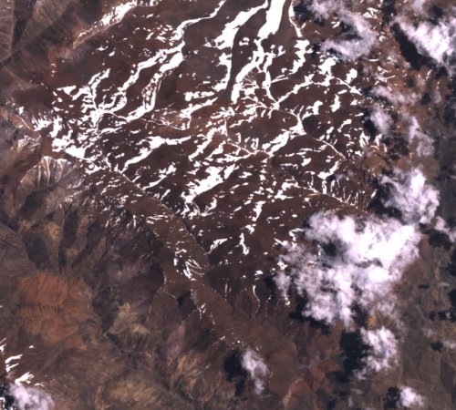
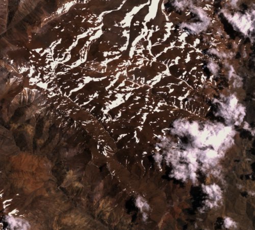
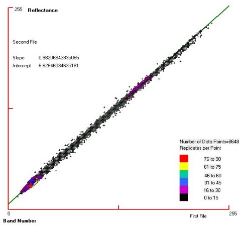
• Cartographers - Create 15m color, copyright-free, orthorectified Landsat 8 images of your country (or anywhere else in the world). Easily gap fill post-2003 Landsat 7 bands as well.
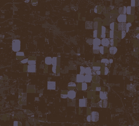
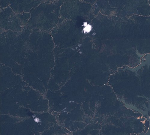
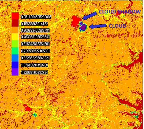
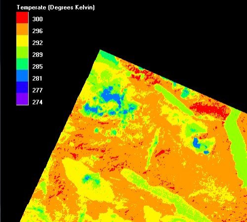
• Environmental Consultants - Conduct wildlife habitat, burn studies, wetlands, flood analysis. PANCROMA™ can win more clients.
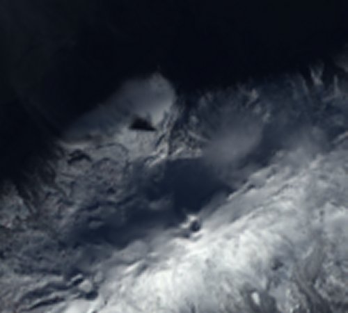
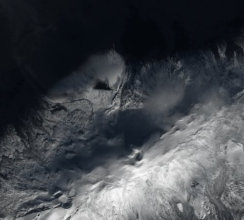
• Researchers/Doctoral Candidates - Need great thesis ideas? Land use analysis, vegetation classification, climate, deforestation (REDD), snow pack, invasive species, archaeological or urban studies: PANCROMA™ satellite image analysis will win kudos and impress your review committee.
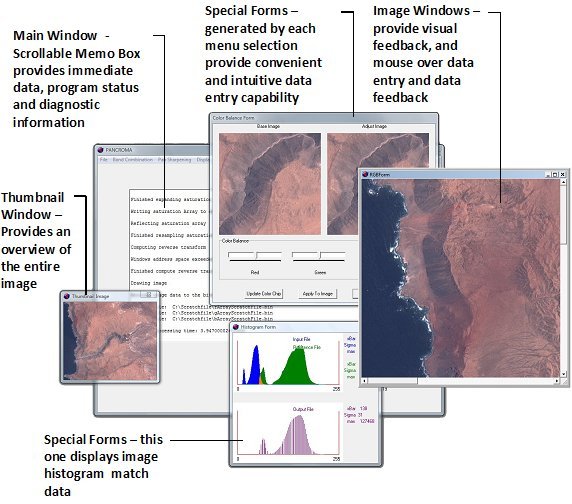
• Students - Can't waste time with tedious learning curves? Get started fast with the PANCROMA™ Instruction Manual, Videos and White Papers. This research paper shows what one student accomplished. Another student used PANCROMA™ gap filling tools for his research project. This researcher used PANCROMA™ gap filling and pan sharpening. Another excellent PANCROMA™ presentation!
Can you get useful results from PANCROMA™ in less than 10 minutes? Absolutely! Watch the Video to find out how, or Buy Now for only $99.95 or Learn More. Put satellite image processing technology to work today.

PANCROMA™ is used in technically advanced countries world-wide. Add yours to the list!
Web site and all contents © Copyright TERRAINMAP Earth Imaging LLC 2010, 2011, 2012, 2013. All rights reserved.
www.PANCROMA.com